Last updated: August 26, 2026 | 15:15 UTC
Major Developments We’re Following
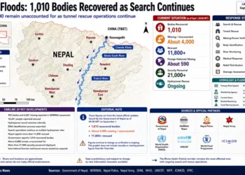
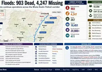
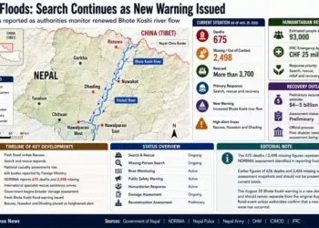
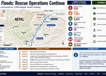
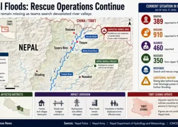
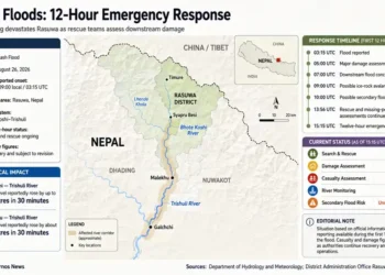
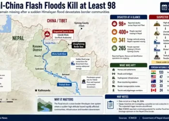
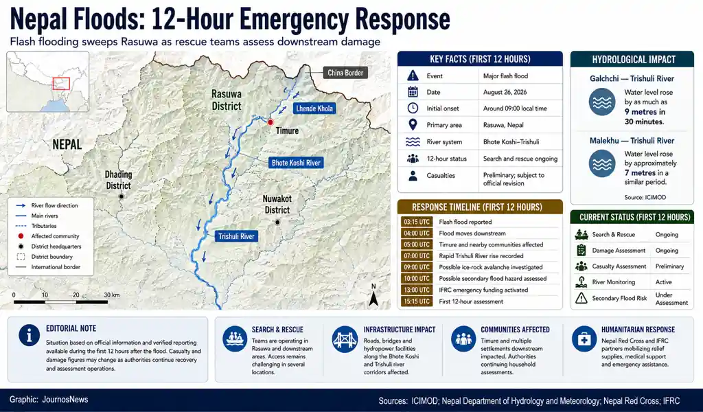
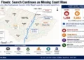
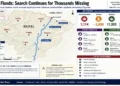
- A major flash flood struck Nepal’s Rasuwa district near the China border on August 26, sending a powerful surge through the Bhote Koshi and Trishuli river systems. ICIMOD said water levels in the Bhote Koshi basin began rising rapidly at around 9 a.m. local time.
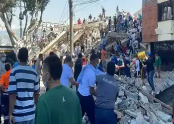
- Timure and other communities in Rasuwa were severely affected, with homes, roads, bridges and hydropower infrastructure damaged or destroyed.
- The flood moved downstream toward Nuwakot and Dhading, raising concerns about additional impacts along the Trishuli River.
- ICIMOD said scientists were investigating a possible ice-rock avalanche entering the Lhende Khola, but stressed that the precise trigger remained unconfirmed.
- Emergency teams began search-and-rescue operations while damaged roads, bridges and communications complicated access to affected communities.
- The Nepal Red Cross response was activated, with the IFRC releasing nearly CHF 1 million through its Disaster Response Emergency Fund to support emergency operations.
What We Know
- Event: Major flash flood
- Date: August 26, 2026
- Initial reported onset: Around 09:00 local time, equivalent to approximately 03:15 UTC
- Primary affected district: Rasuwa, Bagmati Province
- Main river: Bhote Koshi
- Downstream river system: Trishuli
- Severely affected areas: Timure and communities along the Bhote Koshi corridor
- The flood carried large amounts of water, sediment and boulders downstream.
- ICIMOD reported that the Trishuli River at Galchchi rose by as much as 9 metres within 30 minutes, while the level at Malekhu increased by approximately 7 metres over a similar period.
- Several hydrological monitoring stations were damaged or swept away, although the Galchchi station remained operational.
- Homes, roads, bridges, hydropower facilities and other infrastructure were damaged.
- Rescue operations were complicated by damaged roads and isolated communities.
What We Don’t Know
- The final number of people killed remains subject to official verification and revision.
- The total number of missing people has not been conclusively established.
- The full extent of damage in remote parts of Rasuwa remains unclear.
- The exact trigger of the flood has not been conclusively established.
- Scientists are still assessing whether debris formed a temporary blockage upstream and whether that could create an additional flood hazard.
- The complete extent of damage to hydropower and transportation infrastructure remains under assessment.
Public Safety Information
Nepal’s Department of Hydrology and Meteorology maintains national flood-monitoring and warning services and provides public flood information through its warning system. The department’s current system includes river monitoring and flood-warning information.
ICIMOD reported concerns about a possible upstream blockage and said authorities had warned of the possibility of another flood if impounded water were suddenly released. Evacuation measures were reported for areas on the Chinese side of the border.

People in affected river valleys should follow official instructions, avoid riverbanks and damaged bridges, and remain away from unstable structures.
Live Updates
03:15 UTC — Flash Flood Strikes Rasuwa
A major flash flood struck Nepal’s Rasuwa district at around 9 a.m. local time, according to local reports cited by ICIMOD.
The surge entered the Bhote Koshi River system, carrying water, sediment and large boulders downstream. The precise trigger was not immediately established.
04:00 UTC — Flood Moves Into Bhote Koshi River System
The flood travelled downstream from the Rasuwa border area through the Bhote Koshi toward the Trishuli River system.
ICIMOD said the potential downstream impact extended toward communities in Nuwakot and Dhading as the flood wave moved through the river network.
05:00 UTC — Timure Area Among Hardest Hit
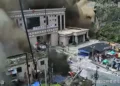
Timure and nearby settlements in Rasuwa were among the areas severely affected.
Early assessments indicated damage to homes and critical infrastructure along the river corridor. Access to some communities was difficult because roads and bridges had been damaged.
06:00 UTC — Rescue Operations Begin
Emergency personnel began search-and-rescue operations as authorities attempted to establish the scale of casualties and damage.
The IFRC said some of the worst-affected communities were isolated because multiple bridges had been washed away and major roads disrupted.
07:00 UTC — Downstream River Levels Rise Rapidly
Hydrological observations showed an exceptionally rapid rise in the Trishuli River.
ICIMOD reported that the river level at Galchchi rose by as much as nine metres within 30 minutes, while Malekhu recorded an increase of approximately seven metres over a similar period.
08:00 UTC — Monitoring Stations Damaged
Several water-monitoring stations along the Trishuli River were reportedly damaged or swept away by the flood.
ICIMOD said the Galchchi monitoring station remained operational, allowing continued observation of river conditions.
09:00 UTC — Possible Ice-Rock Avalanche Investigated
Scientists began investigating whether an ice-rock avalanche from a high-altitude area entered the Lhende Khola, a tributary of the Bhote Koshi, and generated the sudden surge.
ICIMOD described the avalanche as a suspected trigger, not a confirmed cause.
10:00 UTC — Possible Secondary Flood Hazard Assessed
Scientists and authorities examined whether debris may have temporarily blocked part of the river and created a landslide dam.
ICIMOD said such a blockage could create an additional hazard if impounded water were suddenly released. The size and stability of any possible blockage remained under assessment.
11:00 UTC — Seismic Signals Examined
ICIMOD reported unusual signals in seismic records from monitoring stations near the affected area.
Scientists were examining whether those signals were connected to the suspected avalanche. ICIMOD said no causal relationship between the seismic signals and the flood had yet been established.
12:00 UTC — Infrastructure Damage Expands
Damage assessments indicated extensive impacts on transportation and other critical infrastructure.
The IFRC said homes, roads, bridges, hydropower facilities and other infrastructure had been badly damaged, leaving some affected communities difficult to reach.
13:00 UTC — Humanitarian Response Activated
The International Federation of Red Cross and Red Crescent Societies announced nearly CHF 1 million in emergency funding for the Nepal Red Cross Society.
The funding was intended to support immediate relief while teams assessed destruction and identified communities requiring assistance.
14:00 UTC — Rescue and Damage Assessments Continue
Search-and-rescue operations continued while authorities worked to establish the number of casualties and missing people.
Access remained a major challenge in Rasuwa because floodwaters had damaged roads and bridges and disrupted communications.
15:15 UTC — First 12 Hours: Emergency Response Continues
Twelve hours after the reported onset of the flood, rescue and damage-assessment operations remained active across Rasuwa and downstream areas.
The full casualty toll and number of missing people remained subject to verification. Scientists were continuing to investigate the suspected ice-rock avalanche and the possibility of an upstream blockage that could create additional downstream risk.
Emergency Response
The Nepal Red Cross Society began responding to affected communities, with IFRC emergency funding released to support immediate relief and assessment operations.
Emergency access remained difficult in parts of Rasuwa because roads and bridges were damaged or washed away. The humanitarian response therefore included assessment of isolated communities and urgent needs for shelter, water, first aid and other assistance.
Scientific Assessment
ICIMOD scientists and partner institutions in Nepal and China were investigating whether an ice-rock avalanche entered the Lhende Khola and generated the flood.
The organization said preliminary evidence from video, field information, hydrological observations and seismic records supported investigation of that possibility. However, the precise trigger remained unconfirmed.
ICIMOD also cautioned that it was too early to determine what role climate change played in this specific event.
Background
The Bhote Koshi and Trishuli river systems run through steep Himalayan valleys where settlements, roads, hydropower infrastructure and cross-border transportation routes are concentrated close to river channels.
The Rasuwa area had also experienced a major flood in 2025, highlighting the vulnerability of the border region to rapidly developing mountain hazards.
Sources / References
Primary sources for this tracker include the International Centre for Integrated Mountain Development (ICIMOD), Nepal’s Department of Hydrology and Meteorology, the Nepal Red Cross Society and the International Federation of Red Cross and Red Crescent Societies. Professional reporting from Nepalese news organizations and international news agencies is used only to supplement official information and document developing casualty and rescue reports.